

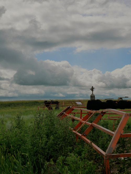
AGM locations and integrity dig site survey information can be integrated into ArcGIS and Google Earth. Any pipeline infrastructure and surrounding features can be surveyed and all information and photos digitized for pipeline information. We also store all documentation and can collaborate with engineers for developing plans such an Emergency Response Plan Development (Route Planning & Access) for future projects.