

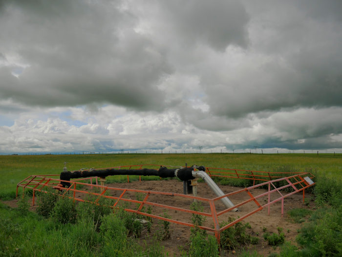
A Depth of Cover survey is crucial for risk mitigation by navigating the entire length, or specific portion of a pipeline.
When performing Inline Inspection (ILI) using tools equipped with Inertial Measurement Units (IMUs), knowing the depth of the pipeline
(also called vertical elevation or depth of cover in some contexts) is critical for accurate mapping and alignment of the pipeline's route.
Understanding pipeline depth/elevation changes supports accurate strain modeling (e.g., at steep slopes or river crossings).